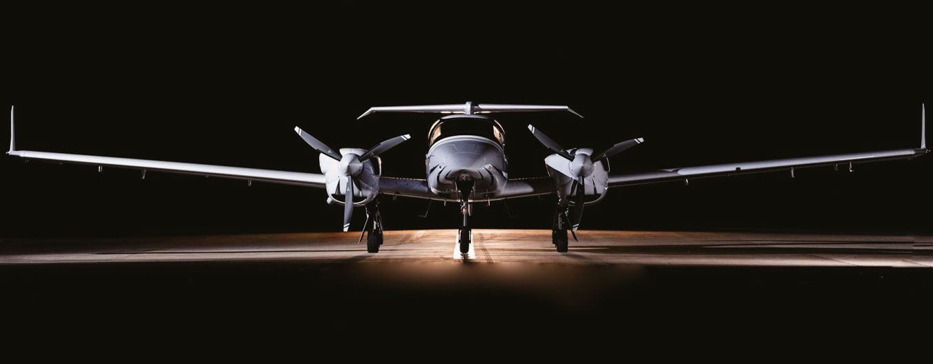
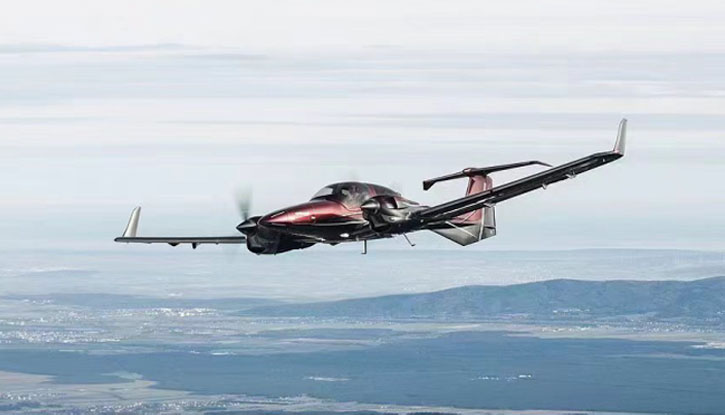
CA42 SkyLens
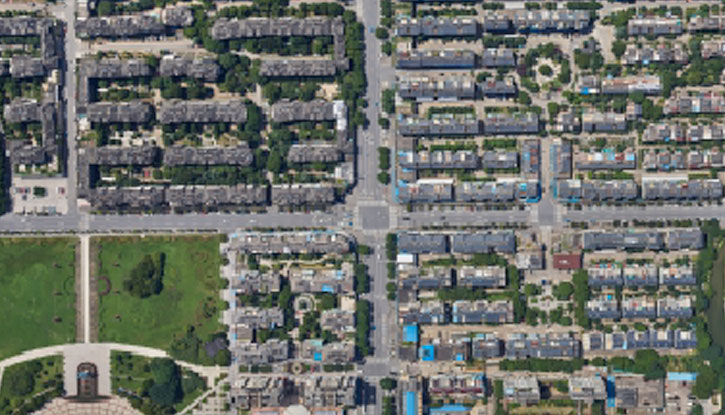
SkyLens Aerial Photography and Mapping Aircraft
CA42 manufactured by CETC Aircraft


Introduction
- High-level security
- Long operating time
- High /low speed performance
- Quick assembly and retrofit
- High operational efficiency and low operating costs
- Wide range of applicable aero cameras
Configuration Options
Aerial Photography and Mapping System Platform
Low operating cost
High efficiency
Reliability and safety of the installed equipment
Strong retrofitting capability
Applicable Aero cameras

Vexcel Imaging Lineup
- UCE M3
- UCXP WA
- UCO 4.1
- Highly economical, high geometric precision

Leica Camera Lineup
- RCD 30
- ALS 80
- TerrainMapper-2
- High-resolution rate, high density sensors

RIEGL Product Lineup
- VQ-1560 I
- VQ-780 II
- VQ-880 II
- Long range, high speed

SWDC Product Lineup
- WDC-4
- SWDC-5Ap
- SWDC-Max6
- Localized, high-resolution rate, replaceable lens
and more: UCE M3, ALTM T1000, CityMapper-2, RCD30, ALS80, SWDC MAX3, RIEGL VQ-780. A3
Application Scenarios
Disaster Situation Mapping
- Accurately measure and map disaster sites, analyze the extent of the disaster, and provide precise information to the Disaster Site Command
- Mainly deployed in diverse natural and man-made disasters and other emergency situations
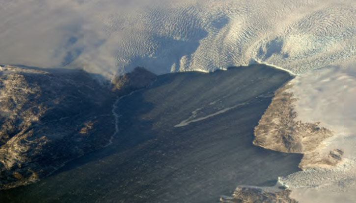
Administrative District Mapping
- Mapping government administrative areas
- Mainly utilized for urban zoning investigations, rural site planning, organization, and tourist attractions, etc.
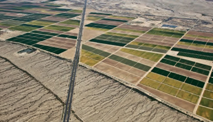
Agricultural Regionalization Mapping
- Accurately measure and map disaster sites, analyze the extent of the disaster, and provide precise information to the Disaster Site Command
- Mainly deployed in diverse natural and man-made disasters and other emergency situations
Complex Environmental Mapping
- Mapping government administrative areas
- Mainly utilized for urban zoning investigations, rural site planning, organization, and tourist attractions, etc.
